New York Building Ages
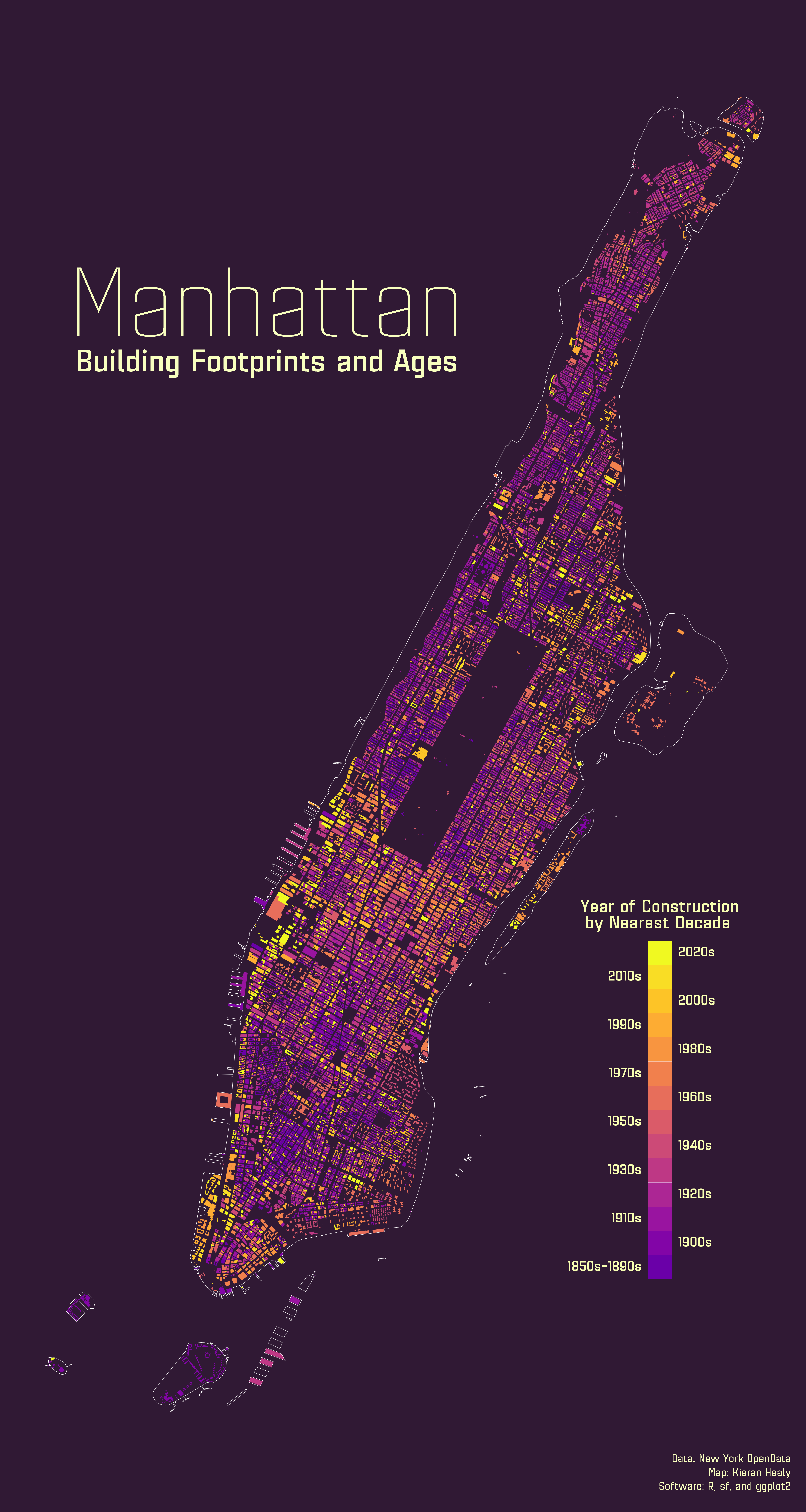
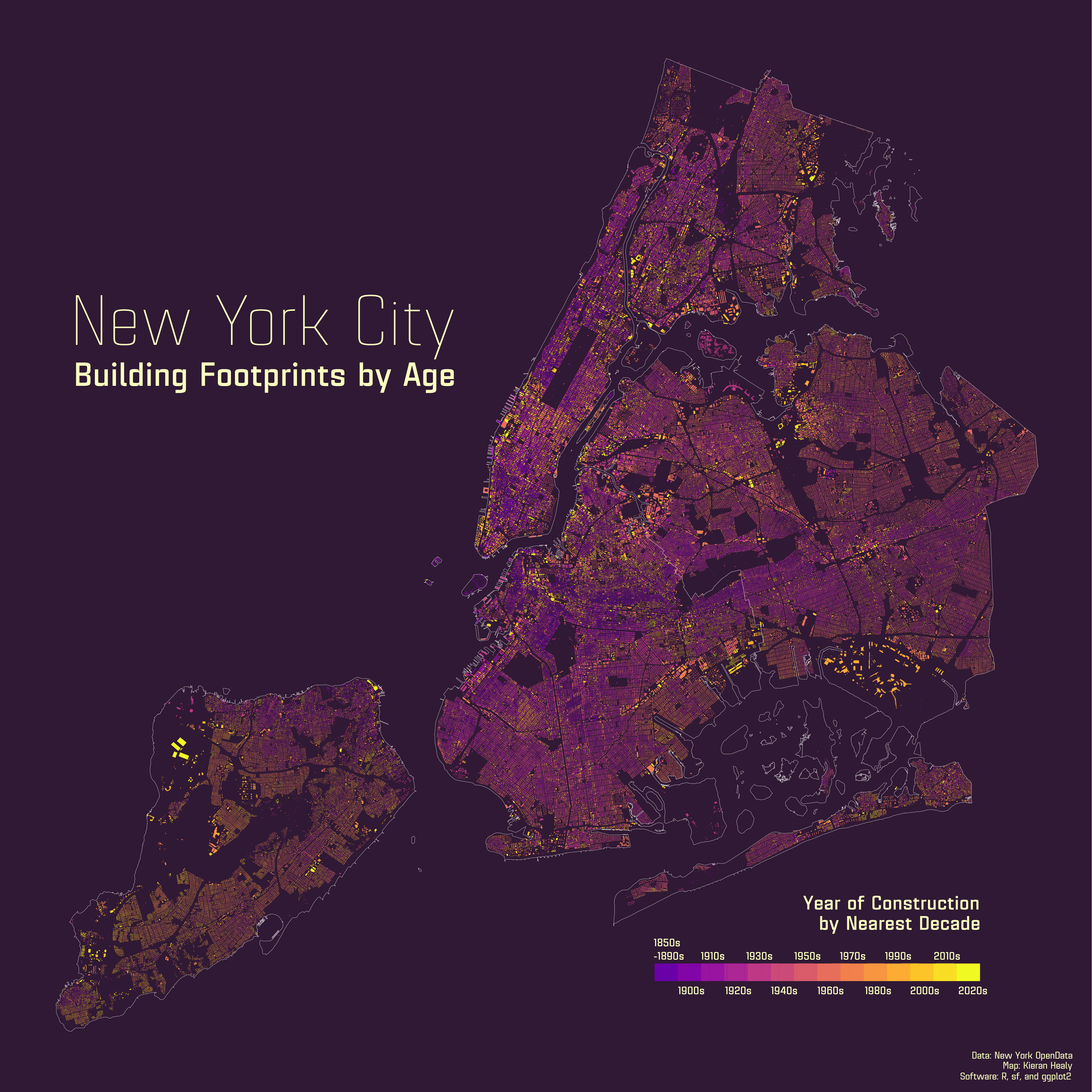
Following up on yesterday’s first cut at a map of Manhattan’s buildings by height, which I’ll be revisiting soon, here are two maps of the city’s building’s by age. First for Manhattan alone and then for the whole of New York City. The latter one is quite compressed, unfortunately, as it contains data on every building footprint in the city.

Manhattan Buildings by Nearest Decade of Construction.

New York City buildings by Decade of Construction.
As before, the data from from New York’s Open Data Initiative and were made with R, ggplot, and the sf package.